


Marcellin-Pellegrin-Caireval

Berpav
User


Length
9.5 km

Max alt
336 m

Uphill gradient
168 m
Km-Effort
11.8 km

Min alt
209 m

Downhill gradient
167 m
Boucle
Yes
Creation date :
2021-03-18 12:42:03.527
Updated on :
2021-03-19 13:54:37.69
2h21
Difficulty : Easy

FREE GPS app for hiking
 SityTrail
IGN / Geographical institutes
SityTrail Plus
The world is yours!
About
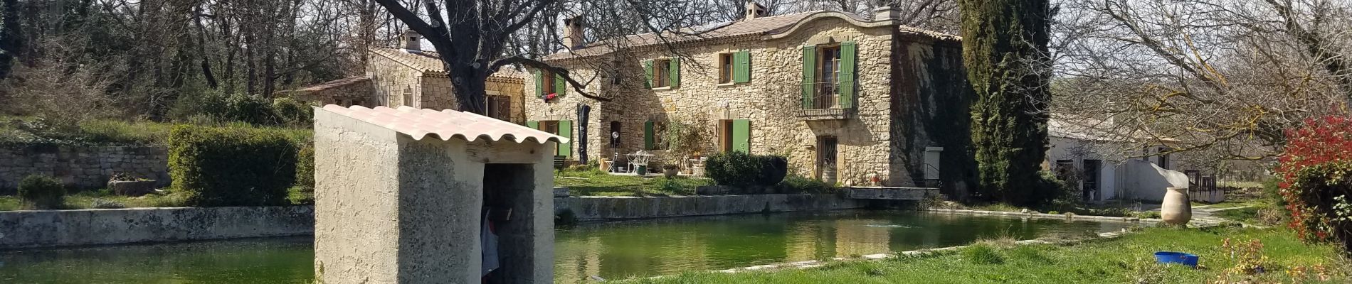
Trail Walking of 9.5 km to be discovered at Provence-Alpes-Côte d'Azur, Bouches-du-Rhône, Rognes. This trail is proposed by Berpav.
Photos

Positioning
Country:
France
Region :
Provence-Alpes-Côte d'Azur
Department/Province :
Bouches-du-Rhône
Municipality :
Rognes
Location:
Unknown
Start:(Dec)
Start:(UTM)
687763 ; 4838068 (31T) N.
Comments
belle randonnée