


Vorselaar

Dirk242
User
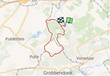

Length
10.5 km

Max alt
26 m

Uphill gradient
84 m
Km-Effort
11.7 km

Min alt
5 m

Downhill gradient
84 m
Boucle
Yes
Creation date :
2021-03-21 12:47:32.666
Updated on :
2021-03-21 15:18:23.072
2h30
Difficulty : Medium

FREE GPS app for hiking
 SityTrail
IGN / Geographical institutes
SityTrail Plus
The world is yours!
About
Trail Walking of 10.5 km to be discovered at Flanders, Antwerp, Vorselaar. This trail is proposed by Dirk242.
Description
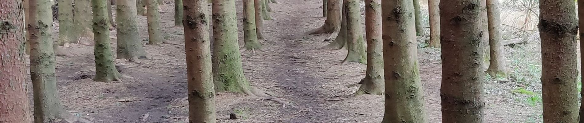
Mooi bos, beek en landschapswandeling
Photos


Positioning
Country:
Belgium
Region :
Flanders
Department/Province :
Antwerp
Municipality :
Vorselaar
Location:
Vorselaar
Start:(Dec)
Start:(UTM)
621969 ; 5676214 (31U) N.
Comments