


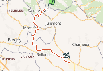
Trail de Herve

JLBragard
User

Length
9.2 km

Max alt
305 m

Uphill gradient
297 m
Km-Effort
12.7 km

Min alt
144 m

Downhill gradient
139 m
Boucle
No
Creation date :
2021-03-21 13:40:55.584
Updated on :
2021-03-21 16:17:49.483
2h35
Difficulty : Medium

FREE GPS app for hiking
 SityTrail
IGN / Geographical institutes
SityTrail Plus
The world is yours!
About
Trail Walking of 9.2 km to be discovered at Wallonia, Liège, Herve. This trail is proposed by JLBragard.
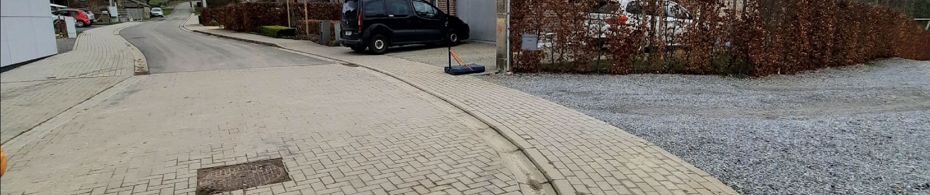
Photos


Positioning
Country:
Belgium
Region :
Wallonia
Department/Province :
Liège
Municipality :
Herve
Location:
Julémont
Start:(Dec)
Start:(UTM)
695287 ; 5619780 (31U) N.
Comments