


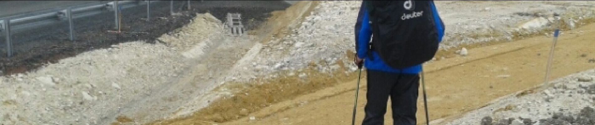
JFT YB ETAPE3 29-4-2014

jeff2
User
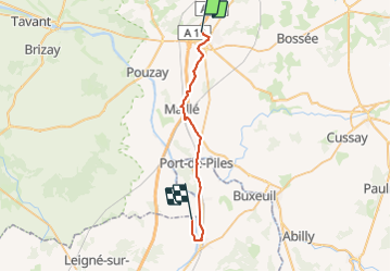

Length
29 km

Max alt
99 m

Uphill gradient
178 m
Km-Effort
31 km

Min alt
34 m

Downhill gradient
220 m
Boucle
No
Creation date :
2014-12-10 00:00:00.0
Updated on :
2014-12-10 00:00:00.0
6h15
Difficulty : Easy

FREE GPS app for hiking
 SityTrail
IGN / Geographical institutes
SityTrail Plus
The world is yours!
About
Trail Walking of 29 km to be discovered at Centre-Loire Valley, Indre-et-Loire, Sainte-Maure-de-Touraine. This trail is proposed by jeff2.
Description
St Maure Dange St Romain
Photos


Positioning
Country:
France
Region :
Centre-Loire Valley
Department/Province :
Indre-et-Loire
Municipality :
Sainte-Maure-de-Touraine
Location:
Unknown
Start:(Dec)
Start:(UTM)
318331 ; 5220932 (31T) N.
Comments