


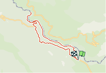
L'Imbut et retour par sentier Vidal puis par la route

lviallet
User

Length
9.6 km

Max alt
890 m

Uphill gradient
877 m
Km-Effort
21 km

Min alt
538 m

Downhill gradient
876 m
Boucle
Yes
Creation date :
2021-03-25 08:57:36.0
Updated on :
2021-03-27 10:55:57.369
4h30
Difficulty : Very difficult

FREE GPS app for hiking
 SityTrail
IGN / Geographical institutes
SityTrail Plus
The world is yours!
About
Trail Walking of 9.6 km to be discovered at Provence-Alpes-Côte d'Azur, Var, Aiguines. This trail is proposed by lviallet.
Description
Magnifique randonnées sportive!... mais attention:
Pas d'enfants de moins de 10 ans, ne pas avoir le vertige et chiens interdits.
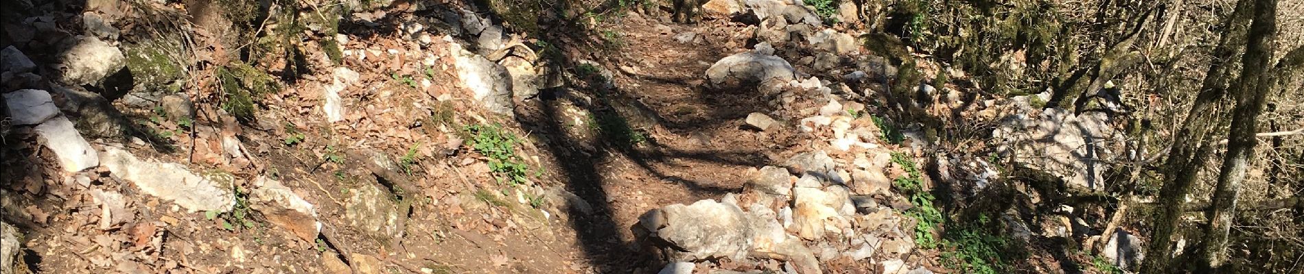
Photos


Positioning
Country:
France
Region :
Provence-Alpes-Côte d'Azur
Department/Province :
Var
Municipality :
Aiguines
Location:
Unknown
Start:(Dec)
Start:(UTM)
286273 ; 4846070 (32T) N.
Comments