


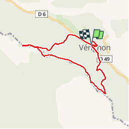
Vérignon - ND de Liesse

Sugg
User


2h44
Difficulty : Medium

FREE GPS app for hiking
 SityTrail
IGN / Geographical institutes
SityTrail Plus
The world is yours!
About
Trail Walking of 8.5 km to be discovered at Provence-Alpes-Côte d'Azur, Var, Vérignon. This trail is proposed by Sugg.
Description
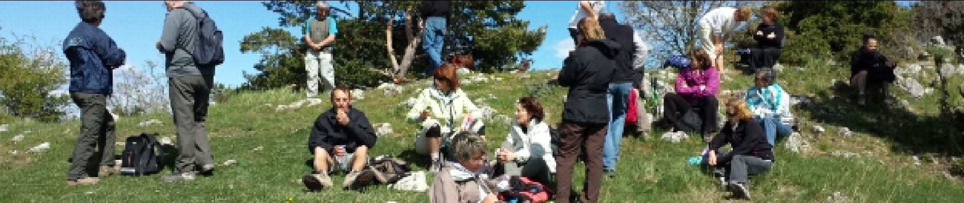
Rando Pierre avec Restons en forme.
Petite distance, mais très beau parcours avec des sous-bois magnifiques.
Peut se faire en 2 bonnes heures, les 164 min indiquée sont avec les pauses du groupe.
Visite des ruines du vieux Château de Vérignon. ( cote 866 )
Photos

Positioning
Comments