


dieulefit mont Rachat

Joel26400
User
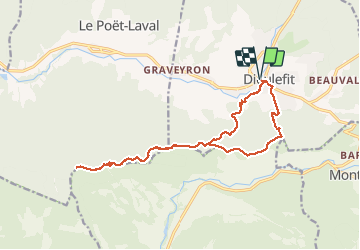

Length
18.1 km

Max alt
894 m

Uphill gradient
813 m
Km-Effort
29 km

Min alt
367 m

Downhill gradient
813 m
Boucle
Yes
Creation date :
2021-03-28 07:18:02.008
Updated on :
2021-03-28 14:37:31.802
5h07
Difficulty : Easy

FREE GPS app for hiking
 SityTrail
IGN / Geographical institutes
SityTrail Plus
The world is yours!
About
Trail Walking of 18.1 km to be discovered at Auvergne-Rhône-Alpes, Drôme, Dieulefit. This trail is proposed by Joel26400.
Description
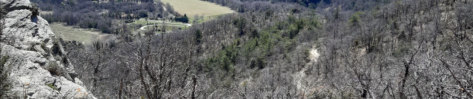
facile très pierreux
Photos

Positioning
Country:
France
Region :
Auvergne-Rhône-Alpes
Department/Province :
Drôme
Municipality :
Dieulefit
Location:
Unknown
Start:(Dec)
Start:(UTM)
663974 ; 4932075 (31T) N.
Comments