


Chasselas (Saône- et-Loire région Bourgogne)

Thomasdanielle
User
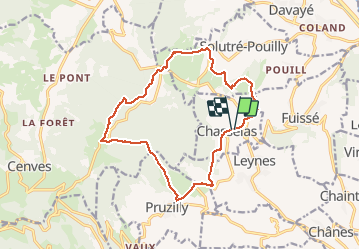

Length
15.1 km

Max alt
732 m

Uphill gradient
588 m
Km-Effort
23 km

Min alt
311 m

Downhill gradient
590 m
Boucle
Yes
Creation date :
2021-03-29 08:32:00.0
Updated on :
2021-03-30 13:18:36.158
5h34
Difficulty : Difficult

FREE GPS app for hiking
 SityTrail
IGN / Geographical institutes
SityTrail Plus
The world is yours!
About
Trail Walking of 15.1 km to be discovered at Bourgogne-Franche-Comté, Saône-et-Loire, Chasselas. This trail is proposed by Thomasdanielle.
Description
Parking dans le village
Très belle vue sur le Solutré - Très belle randonnée
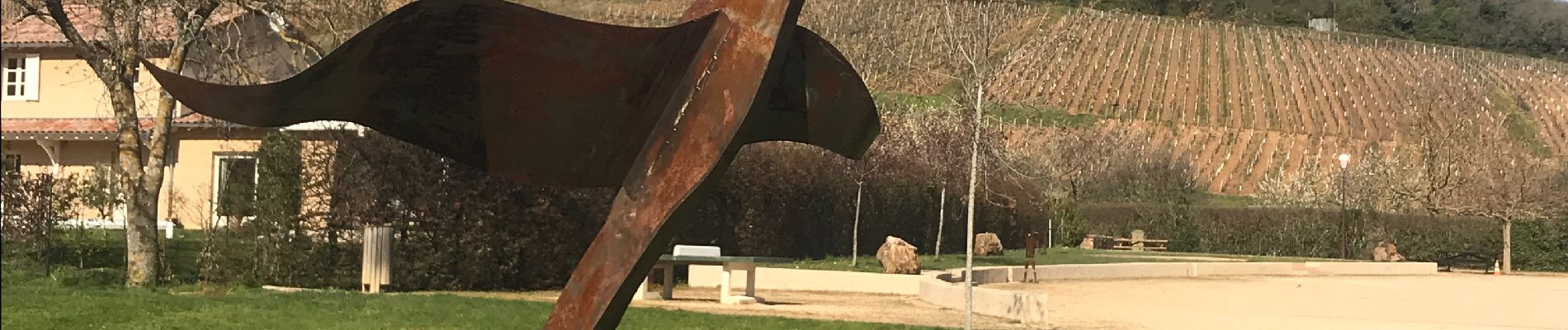
Photos
 - Photo 1")
 - Photo 2")
 - Photo 3")
 - Photo 4")
 - Photo 5")
 - Photo 6")
 - Photo 7")
 - Photo 8")
Positioning
Country:
France
Region :
Bourgogne-Franche-Comté
Department/Province :
Saône-et-Loire
Municipality :
Chasselas
Location:
Unknown
Start:(Dec)
Start:(UTM)
632624 ; 5126248 (31T) N.
Comments