


Circuit autour de l'Albenc par Chantesse

Emelle
User
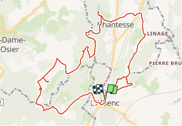

Length
14.8 km

Max alt
531 m

Uphill gradient
486 m
Km-Effort
21 km

Min alt
251 m

Downhill gradient
488 m
Boucle
Yes
Creation date :
2021-04-01 06:56:27.598
Updated on :
2021-04-26 08:49:39.072
5h17
Difficulty : Easy

FREE GPS app for hiking
 SityTrail
IGN / Geographical institutes
SityTrail Plus
The world is yours!
About
Trail Walking of 14.8 km to be discovered at Auvergne-Rhône-Alpes, Isère, L'Albenc. This trail is proposed by Emelle.
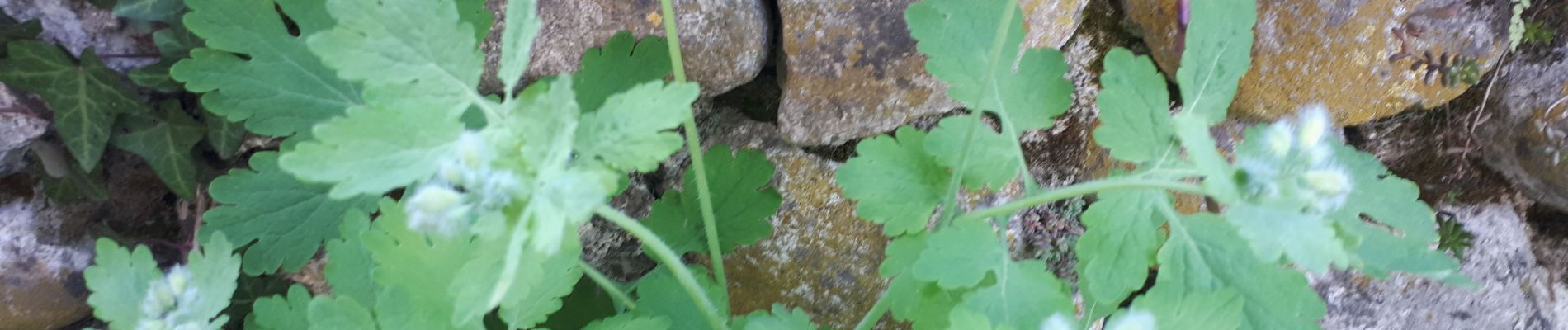
Photos


28 photos in total. Please click on a photo to see them all in the gallery.
Positioning
Country:
France
Region :
Auvergne-Rhône-Alpes
Department/Province :
Isère
Municipality :
L'Albenc
Location:
Unknown
Start:(Dec)
Start:(UTM)
691641 ; 5010792 (31T) N.
Comments