


3.7 km | 5.5 km-effort


User


FREE GPS app for hiking
 SityTrail
IGN / Geographical institutes
SityTrail World
The world is yours!
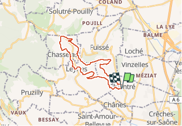
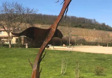
Trail Walking of 13.8 km to be discovered at Bourgogne-Franche-Comté, Saône-et-Loire, Chaintré. This trail is proposed by Thomasdanielle.
D/A : Parking Église (14 km - D. 349 m)
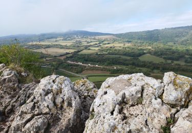
 - Photo 1")
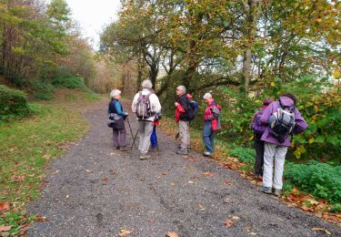
 - Photo 2")
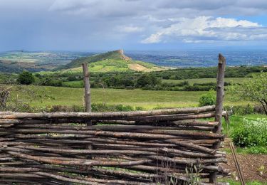
 - Photo 3")

Walking
Walking

Walking

Walking
Walking

Walking
Walking
Walking

Walking