


2021 04 01 brue auriac_pont de sumian@argens

bernir
User
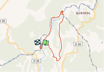

Length
7.8 km

Max alt
303 m

Uphill gradient
127 m
Km-Effort
9.5 km

Min alt
249 m

Downhill gradient
127 m
Boucle
Yes
Creation date :
2021-04-01 07:55:13.281
Updated on :
2021-04-01 18:22:32.044
6h53
Difficulty : Very easy

FREE GPS app for hiking
 SityTrail
IGN / Geographical institutes
SityTrail Plus
The world is yours!
About
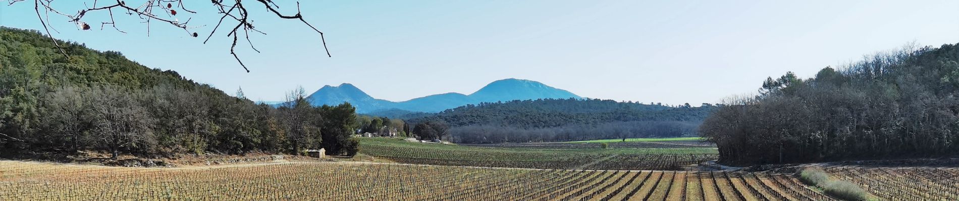
Trail Walking of 7.8 km to be discovered at Provence-Alpes-Côte d'Azur, Var, Bras. This trail is proposed by bernir.
Photos


Positioning
Country:
France
Region :
Provence-Alpes-Côte d'Azur
Department/Province :
Var
Municipality :
Bras
Location:
Unknown
Start:(Dec)
Start:(UTM)
738572 ; 4820280 (31T) N.
Comments