


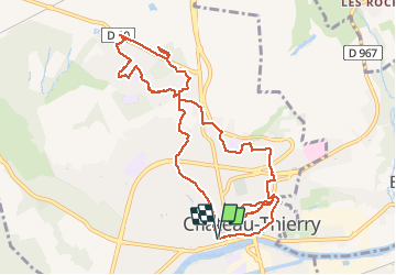
Château-Thierry, le circuit des Abeilles (1ère partie)

VANDERPUTTENMi
User GUIDE

Length
10.2 km

Max alt
219 m

Uphill gradient
212 m
Km-Effort
13 km

Min alt
59 m

Downhill gradient
209 m
Boucle
Yes
Creation date :
2021-04-01 12:38:43.096
Updated on :
2021-04-01 20:38:55.78
2h33
Difficulty : Very easy

FREE GPS app for hiking
 SityTrail
IGN / Geographical institutes
SityTrail Plus
The world is yours!
About
Trail Walking of 10.2 km to be discovered at Hauts-de-France, Aisne, Château-Thierry. This trail is proposed by VANDERPUTTENMi.
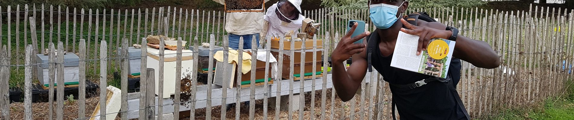
Photos
 - Photo 1")
 - Photo 2")
Positioning
Country:
France
Region :
Hauts-de-France
Department/Province :
Aisne
Municipality :
Château-Thierry
Location:
Unknown
Start:(Dec)
Start:(UTM)
529052 ; 5432433 (31U) N.
Comments