


balade printanière halatte nord ouest

gilbertdu60
User
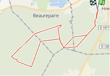

Length
11.6 km

Max alt
124 m

Uphill gradient
204 m
Km-Effort
14.3 km

Min alt
62 m

Downhill gradient
204 m
Boucle
Yes
Creation date :
2021-04-01 15:17:03.313
Updated on :
2021-04-01 16:18:54.263
3h15
Difficulty : Difficult

FREE GPS app for hiking
 SityTrail
IGN / Geographical institutes
SityTrail Plus
The world is yours!
About
Trail Walking of 11.6 km to be discovered at Hauts-de-France, Oise, Pont-Sainte-Maxence. This trail is proposed by gilbertdu60.
Description
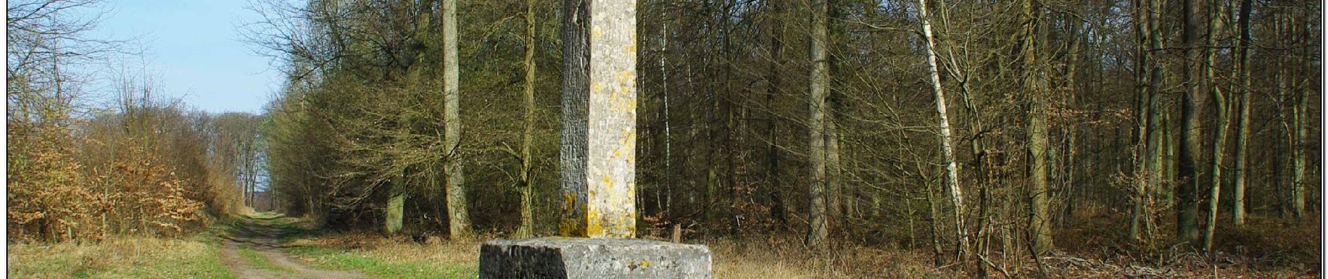
Du quartier des terriers à la croix des veneurs, en passant par le poteau de la mare aux oiseaux
Photos


Positioning
Country:
France
Region :
Hauts-de-France
Department/Province :
Oise
Municipality :
Pont-Sainte-Maxence
Location:
Unknown
Start:(Dec)
Start:(UTM)
470827 ; 5460230 (31U) N.
Comments