


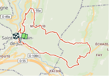

93 km | 152 km-effort

User


FREE GPS app for hiking
 SityTrail
IGN / Geographical institutes
SityTrail World
The world is yours!
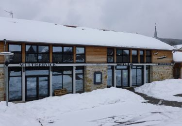
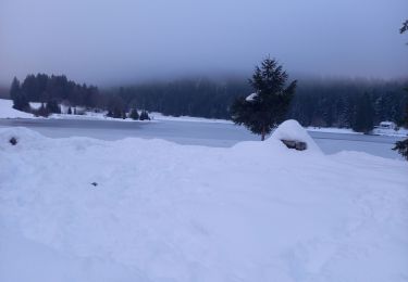
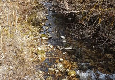
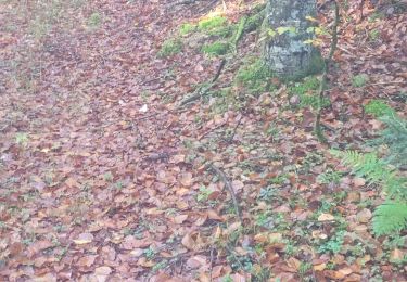
Trail Walking of 12.4 km to be discovered at Auvergne-Rhône-Alpes, Ain, Saint-Germain-de-Joux. This trail is proposed by colomb24.
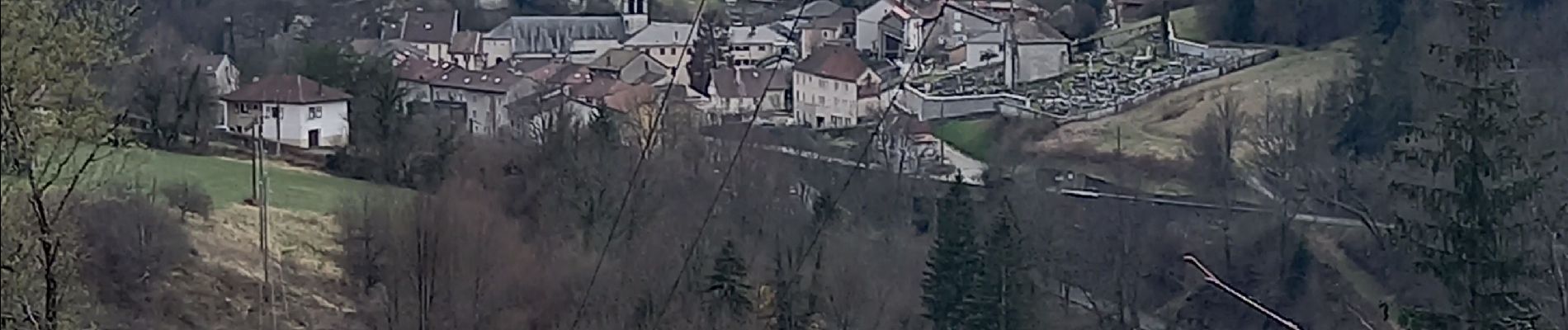
rando très agreable


Motor
On foot
On foot

On foot
On foot
Walking

Walking
Walking
Walking