Trail Walking Ingapirca - Cara del Inca - Photo

Cara del Inca

 gildascb
gildascb

User

© OpenStreetMap contributors
Length
Length
2.3 km
Max alt
Max alt
3144 m
Uphill gradient
Uphill gradient
83 m
Km-Effort
Km-Effort  
3.4 km
Min alt
Min alt
3069 m
Downhill gradient
Downhill gradient
83 m
Boucle
Boucle
Yes
Creation date :
2021-04-02 14:22:05.091
Updated on :
2021-08-12 14:47:45.338

(0 Reviews)

Walking
Walking
54m
Difficulty : Very easy

Scan this QR Code to open this trail in the SityTrail application

FREE GPS app for hiking

Logo SityTrail SityTrail

IGN / Geographical institutes

Download SityTrail from the App Store Download SityTrail from Google Play

Logo SityTrail SityTrail World

The world is yours!

Download SityTrail from the App Store Download SityTrail from Google Play Download SityTrail on Huawei AppGallery

About

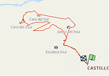
Trail Walking of 2.3 km to be discovered at Cañar, Cañar, Ingapirca. This trail is proposed by gildascb.

Description

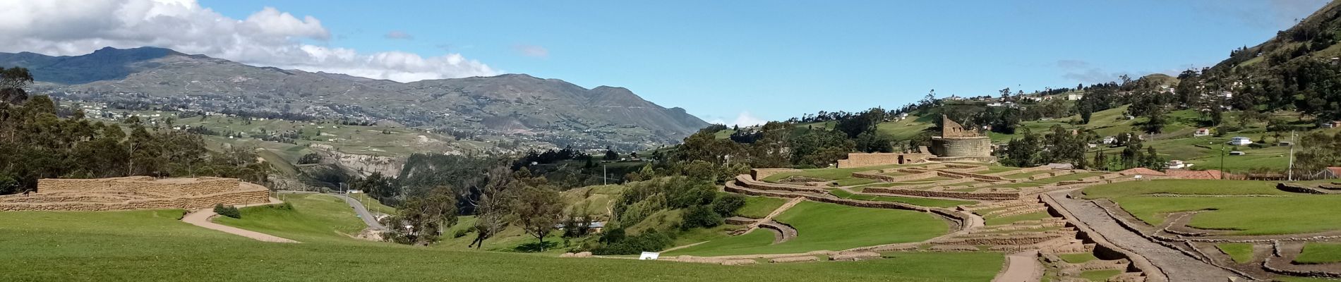
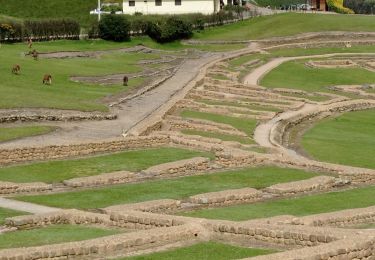
Además de la visita a las ruinas de Ingapirca, puede aprovechar para visitar el sitio de la cara del Inca. El circuito tiene más de 2 km de largo (un poco menos de 1 hora de caminata). El camino es irregular y los escalones de piedra pueden requerir un bastón. Dirigirse al juego Inca, un tipo de piscina. Luego pasar por la tortuga. Desde allí, continuar hasta el asiento del Inca. Disfrutar del paisaje que incluye campos, montañas y un río. Luego está la formación rocosa que claramente se asemeja a la Cara del Inca. Continuar con los pasos y pronto volverás al principio.

Elevation profile

Photos

Positioning

Country:
Ecuador
Region :
Cañar
Department/Province :
Cañar
Municipality :
Ingapirca
Location:
Unknown
Start:(UTM)
736575 ; 9718949 (17M) S.

Trails nearby

Trail Walking Ingapirca - Sitio arqueológico de Ingapirca - Photo
Walking
gildascb

Walking

Very easy
Ingapirca, Cañar, Cañar, Ecuador
1.2 km | 1.5 km-effort
49min
Yes


Close
My subscriptions