


Fresnoy-la-Rivière

bianchireg
User
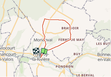

Length
10.4 km

Max alt
161 m

Uphill gradient
127 m
Km-Effort
12.1 km

Min alt
56 m

Downhill gradient
126 m
Boucle
Yes
Creation date :
2021-04-04 14:01:07.972
Updated on :
2021-04-04 16:20:50.148
2h16
Difficulty : Medium

FREE GPS app for hiking
 SityTrail
IGN / Geographical institutes
SityTrail Plus
The world is yours!
About
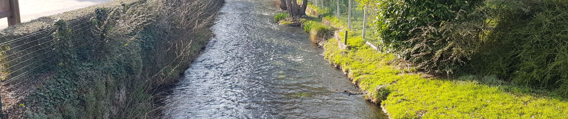
Trail Walking of 10.4 km to be discovered at Hauts-de-France, Oise, Fresnoy-la-Rivière. This trail is proposed by bianchireg.
Photos


Positioning
Country:
France
Region :
Hauts-de-France
Department/Province :
Oise
Municipality :
Fresnoy-la-Rivière
Location:
Unknown
Start:(Dec)
Start:(UTM)
493929 ; 5459114 (31U) N.
Comments