


Vallon de Fontanalba 3
© OpenStreetMap contributors


3h07
Difficulty : Difficult


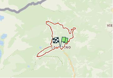
Length
14.9 km
Max alt
2031 m
Uphill gradient
803 m
Km-Effort
26 km
Min alt
1544 m
Downhill gradient
805 m
Boucle
Yes
Creation date :
2021-04-05 09:47:06.745
Updated on :
2021-04-05 09:49:53.811
3h07
Difficulty : Difficult
FREE GPS app for hiking
 SityTrail
IGN / Geographical institutes
SityTrail Plus
The world is yours!
About
Trail Walking of 14.9 km to be discovered at Provence-Alpes-Côte d'Azur, Maritime Alps, Tende. This trail is proposed by jean.marie.litzler@gmail.com.
Positioning
Country:
France
Region :
Provence-Alpes-Côte d'Azur
Department/Province :
Maritime Alps
Municipality :
Tende
Location:
Unknown
Start:(Dec)
Start:(UTM)
380400 ; 4883960 (32T) N.
Comments