


Boucle Mazaugues

cousam
User


4h53
Difficulty : Medium

FREE GPS app for hiking
 SityTrail
IGN / Geographical institutes
SityTrail Plus
The world is yours!
About
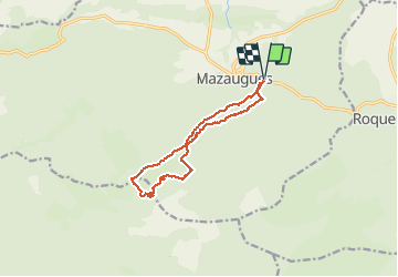
Trail Walking of 12.2 km to be discovered at Provence-Alpes-Côte d'Azur, Var, Mazaugues. This trail is proposed by cousam.
Description
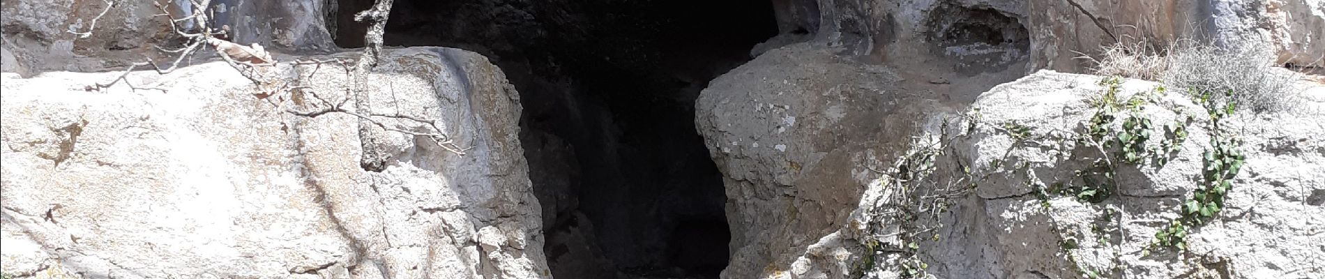
A la recherche des arches perdues
Apres la 3eme photo j'ai coupé directement (km 5,5) pour rejoindre le sentier ,descente hard (4eme photo)non balisé ,en suivant la ligne de parcelle de forêt (vert et blanc) on rejoint le sentier ,mais il faut remonté pour aller aux groupes d'arches.
Il faut un peut les chercher, mais ça vaut le coup d'oeil. Sans danger ,il faut être attentif.
Pour le retour (km 9)prendre la sente qui rentre directement au parking.
Photos


24 photos in total. Please click on a photo to see them all in the gallery.
Positioning
Comments