


Brasles ADR du 06-04-2021

VANDERPUTTENMi
User GUIDE

Length
8.3 km

Max alt
160 m

Uphill gradient
149 m
Km-Effort
10.3 km

Min alt
56 m

Downhill gradient
149 m
Boucle
Yes
Creation date :
2021-04-06 11:35:00.867
Updated on :
2021-04-06 15:56:28.572
1h59
Difficulty : Medium

FREE GPS app for hiking
 SityTrail
IGN / Geographical institutes
SityTrail Plus
The world is yours!
About
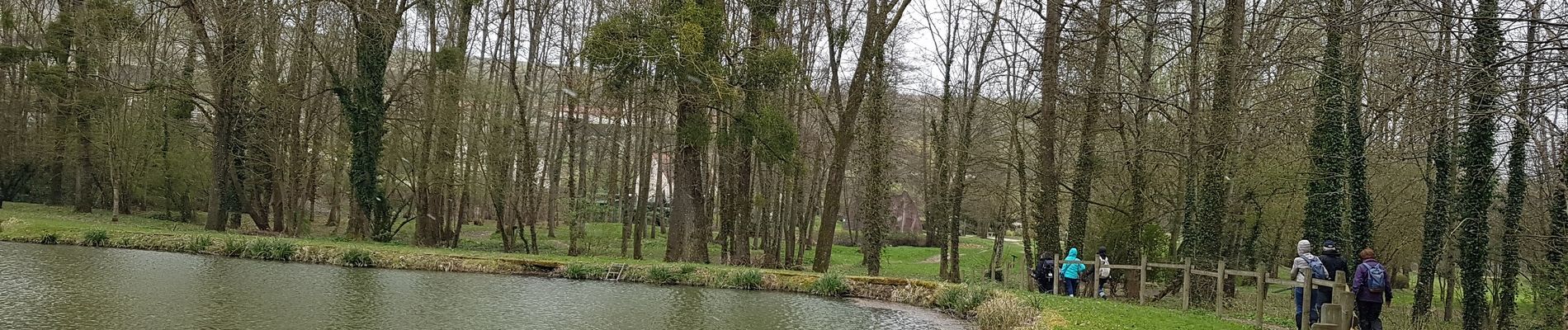
Trail Walking of 8.3 km to be discovered at Hauts-de-France, Aisne, Brasles. This trail is proposed by VANDERPUTTENMi.
Photos

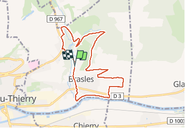
Positioning
Country:
France
Region :
Hauts-de-France
Department/Province :
Aisne
Municipality :
Brasles
Location:
Unknown
Start:(Dec)
Start:(UTM)
531168 ; 5433404 (31U) N.
Comments