


RocherCanon-Villiers SR180321

fmg
User
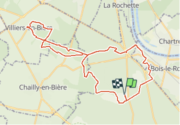

Length
22 km

Max alt
114 m

Uphill gradient
222 m
Km-Effort
25 km

Min alt
74 m

Downhill gradient
222 m
Boucle
Yes
Creation date :
2021-04-07 06:53:16.297
Updated on :
2021-04-14 14:16:16.072
6h36
Difficulty : Medium

FREE GPS app for hiking
 SityTrail
IGN / Geographical institutes
SityTrail Plus
The world is yours!
About
Trail Walking of 22 km to be discovered at Ile-de-France, Seine-et-Marne, Fontainebleau. This trail is proposed by fmg.
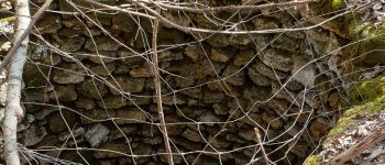
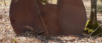
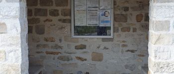
Photos


Positioning
Country:
France
Region :
Ile-de-France
Department/Province :
Seine-et-Marne
Municipality :
Fontainebleau
Location:
Unknown
Start:(Dec)
Start:(UTM)
475254 ; 5367903 (31U) N.
Comments