


Cime de Baudon depuis St Agnès

boboazur
User
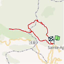

Length
8.8 km

Max alt
1231 m

Uphill gradient
648 m
Km-Effort
17.5 km

Min alt
586 m

Downhill gradient
648 m
Boucle
Yes
Creation date :
2014-12-10 00:00:00.0
Updated on :
2014-12-10 00:00:00.0
4h46
Difficulty : Medium

FREE GPS app for hiking
 SityTrail
IGN / Geographical institutes
SityTrail Plus
The world is yours!
About
Trail Walking of 8.8 km to be discovered at Provence-Alpes-Côte d'Azur, Maritime Alps, Sainte-Agnès. This trail is proposed by boboazur.
Description
Boucle au départ du village perché de St Agnès en direction de la cime de Baudon. Au sommet très belle vue mer et cimes du Mercantour à 360°. Table d'orientation au sommet.
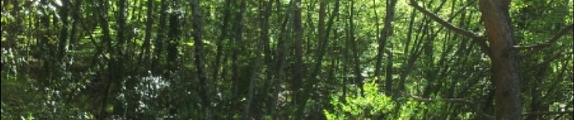
Photos


Positioning
Country:
France
Region :
Provence-Alpes-Côte d'Azur
Department/Province :
Maritime Alps
Municipality :
Sainte-Agnès
Location:
Unknown
Start:(Dec)
Start:(UTM)
375984 ; 4851087 (32T) N.
Comments
Nice