


Aileron / 3e refuge / Caldeira (AR)

Vincent Galva
User
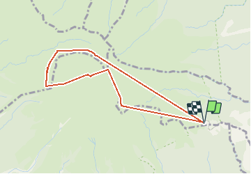

Length
5.3 km

Max alt
1355 m

Uphill gradient
628 m
Km-Effort
13.7 km

Min alt
829 m

Downhill gradient
629 m
Boucle
Yes
Creation date :
2021-04-10 13:43:22.007
Updated on :
2021-04-10 16:30:14.671
2h30
Difficulty : Difficult

FREE GPS app for hiking
 SityTrail
IGN / Geographical institutes
SityTrail Plus
The world is yours!
About
Trail Walking of 5.3 km to be discovered at Martinique, Unknown, L'Ajoupa-Bouillon. This trail is proposed by Vincent Galva.
Description
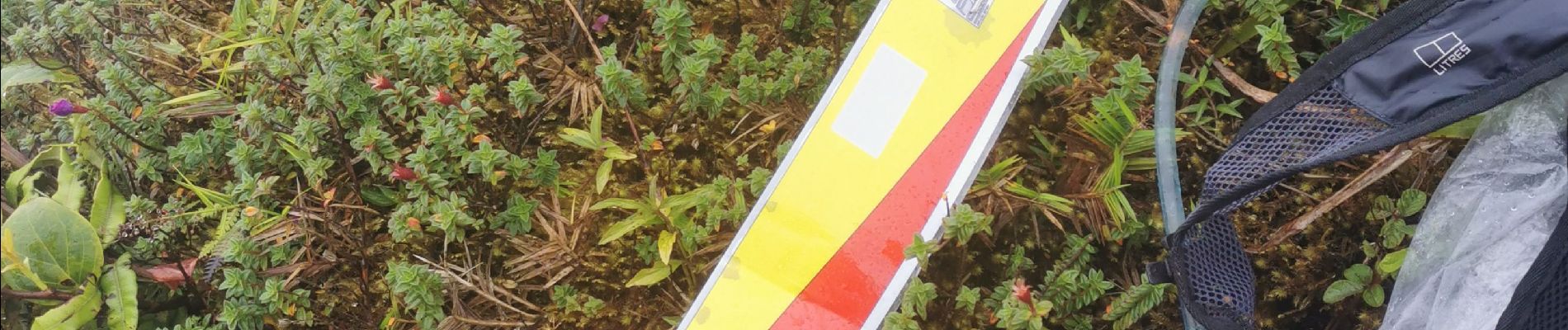
Balisage CO préparation AMM
Photos
 - Photo 1")
 - Photo 2")
Positioning
Country:
France
Region :
Martinique
Department/Province :
Unknown
Municipality :
L'Ajoupa-Bouillon
Location:
Unknown
Start:(Dec)
Start:(UTM)
698934 ; 1637709 (20P) N.
Comments