


2021-04-11 Picnic CVA Jaegertaennel

holtzv
User GUIDE
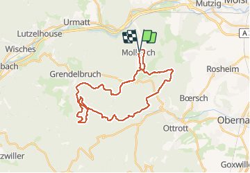

Length
31 km

Max alt
800 m

Uphill gradient
876 m
Km-Effort
43 km

Min alt
260 m

Downhill gradient
875 m
Boucle
Yes
Creation date :
2021-04-11 06:56:44.05
Updated on :
2021-04-12 06:48:52.693
5h43
Difficulty : Very difficult

FREE GPS app for hiking
 SityTrail
IGN / Geographical institutes
SityTrail Plus
The world is yours!
About
Trail Horseback riding of 31 km to be discovered at Grand Est, Bas-Rhin, Mollkirch. This trail is proposed by holtzv.
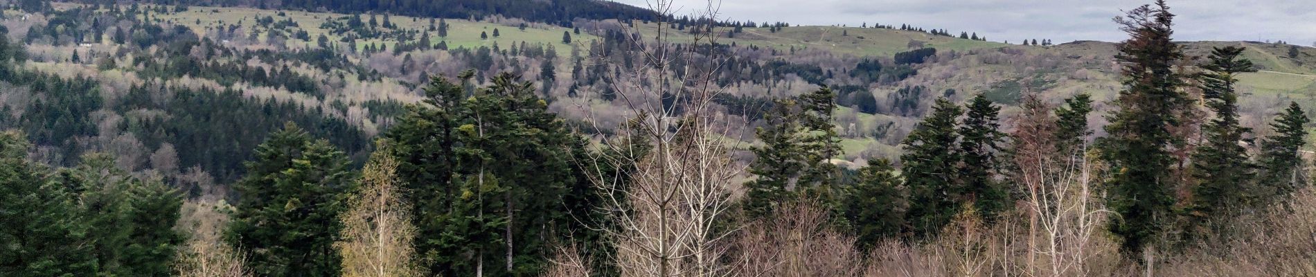
Photos


Positioning
Country:
France
Region :
Grand Est
Department/Province :
Bas-Rhin
Municipality :
Mollkirch
Location:
Unknown
Start:(Dec)
Start:(UTM)
380895 ; 5373912 (32U) N.
Comments