


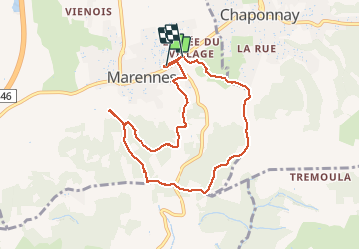
Marennes 8.5 a 241 g1 d10

jtraverse
User

Length
8.5 km

Max alt
348 m

Uphill gradient
241 m
Km-Effort
11.7 km

Min alt
214 m

Downhill gradient
239 m
Boucle
No
Creation date :
2021-04-12 11:00:32.376
Updated on :
2021-04-17 13:48:34.526
2h37
Difficulty : Medium

FREE GPS app for hiking
 SityTrail
IGN / Geographical institutes
SityTrail Plus
The world is yours!
About
Trail Walking of 8.5 km to be discovered at Auvergne-Rhône-Alpes, Rhône, Marennes. This trail is proposed by jtraverse.
Description
bouillasse dans la gde descente à éviter après la pluie !!
Positioning
Country:
France
Region :
Auvergne-Rhône-Alpes
Department/Province :
Rhône
Municipality :
Marennes
Location:
Unknown
Start:(Dec)
Start:(UTM)
649558 ; 5053746 (31T) N.
Comments