


L'Arbousset

JMJ42
User

Length
12.8 km

Max alt
336 m

Uphill gradient
349 m
Km-Effort
17.5 km

Min alt
120 m

Downhill gradient
347 m
Boucle
Yes
Creation date :
2021-04-13 06:59:20.772
Updated on :
2021-11-04 09:12:57.245
3h40
Difficulty : Easy

FREE GPS app for hiking
 SityTrail
IGN / Geographical institutes
SityTrail Plus
The world is yours!
About
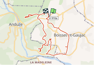
Trail Walking of 12.8 km to be discovered at Occitania, Gard, Boisset-et-Gaujac. This trail is proposed by JMJ42.
Positioning
Country:
France
Region :
Occitania
Department/Province :
Gard
Municipality :
Boisset-et-Gaujac
Location:
Unknown
Start:(Dec)
Start:(UTM)
580743 ; 4878823 (31T) N.
Comments