


Lurcy (16 km - D. 134 m)

Thomasdanielle
User


Length
16.2 km

Max alt
246 m

Uphill gradient
134 m
Km-Effort
18 km

Min alt
182 m

Downhill gradient
134 m
Boucle
Yes
Creation date :
2021-04-16 07:51:28.0
Updated on :
2021-04-20 14:05:58.63
4h57
Difficulty : Difficult

FREE GPS app for hiking
 SityTrail
IGN / Geographical institutes
SityTrail Plus
The world is yours!
About
Trail Walking of 16.2 km to be discovered at Auvergne-Rhône-Alpes, Ain, Lurcy. This trail is proposed by Thomasdanielle.
Description
Départ église de Lurcy
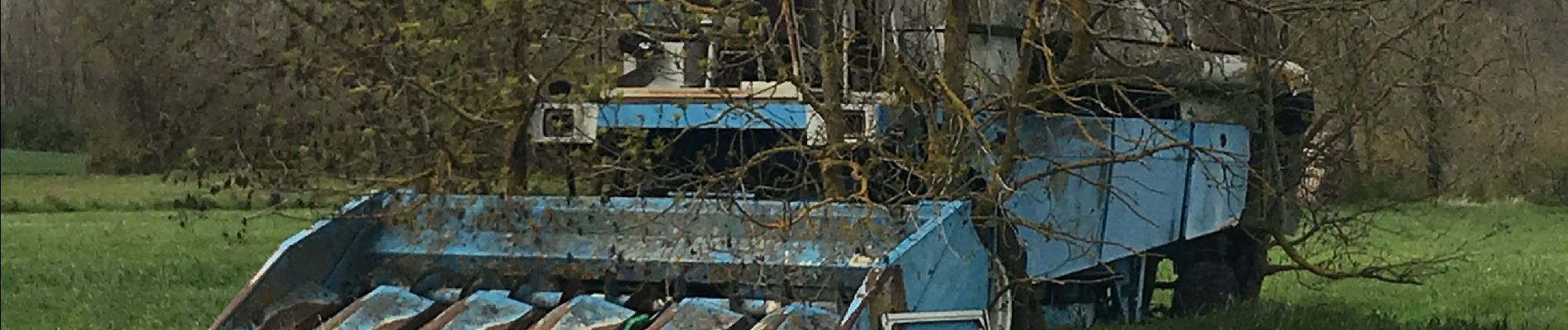
Photos
 - Photo 1")
 - Photo 2")
 - Photo 3")
 - Photo 4")
 - Photo 5")
Positioning
Country:
France
Region :
Auvergne-Rhône-Alpes
Department/Province :
Ain
Municipality :
Lurcy
Location:
Unknown
Start:(Dec)
Start:(UTM)
637769 ; 5102687 (31T) N.
Comments