


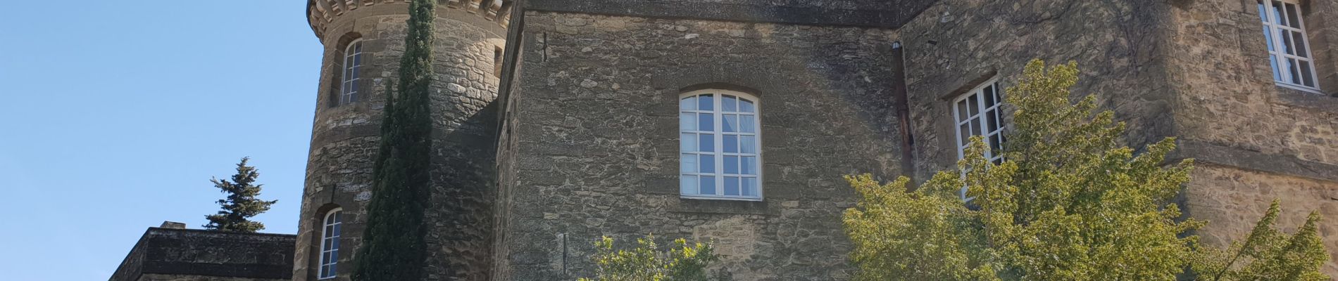
Rochegude

Cricounet84
User
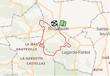

Length
13.1 km

Max alt
276 m

Uphill gradient
300 m
Km-Effort
17 km

Min alt
127 m

Downhill gradient
298 m
Boucle
Yes
Creation date :
2021-04-18 07:58:38.689
Updated on :
2021-04-18 14:04:22.046
4h35
Difficulty : Medium

FREE GPS app for hiking
 SityTrail
IGN / Geographical institutes
SityTrail Plus
The world is yours!
About
Trail Walking of 13.1 km to be discovered at Auvergne-Rhône-Alpes, Drôme, Rochegude. This trail is proposed by Cricounet84.
Photos


Positioning
Country:
France
Region :
Auvergne-Rhône-Alpes
Department/Province :
Drôme
Municipality :
Rochegude
Location:
Unknown
Start:(Dec)
Start:(UTM)
646134 ; 4900947 (31T) N.
Comments