


Ferme du Chesnay

Fky78
User


Length
10.2 km

Max alt
154 m

Uphill gradient
181 m
Km-Effort
12.6 km

Min alt
37 m

Downhill gradient
181 m
Boucle
Yes
Creation date :
2021-04-19 12:24:31.16
Updated on :
2021-04-19 16:53:59.106
2h50
Difficulty : Medium

FREE GPS app for hiking
 SityTrail
IGN / Geographical institutes
SityTrail Plus
The world is yours!
About
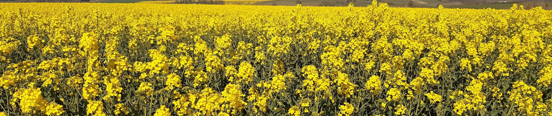
Trail Walking of 10.2 km to be discovered at Ile-de-France, Val-d'Oise, Amenucourt. This trail is proposed by Fky78.
Photos

Positioning
Country:
France
Region :
Ile-de-France
Department/Province :
Val-d'Oise
Municipality :
Amenucourt
Location:
Unknown
Start:(Dec)
Start:(UTM)
402111 ; 5439878 (31U) N.
Comments