


autour de Roussiveau

ETMU5496
User
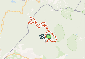


3h19
Difficulty : Medium

FREE GPS app for hiking
 SityTrail
IGN / Geographical institutes
SityTrail Plus
The world is yours!
About
Trail Walking of 15 km to be discovered at Provence-Alpes-Côte d'Azur, Var, Saint-Raphaël. This trail is proposed by ETMU5496.
Description
Départ : MF de Roussiveau
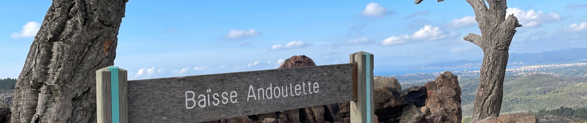
Baisse andoulette, MF des Charretiers par forêt d'eucalyptus, les Malavettes puis col de l'aire de l'olivier.
Retour par plan d'esterel, MF des Charretiers, et le Perthus occidental.
Photos


27 photos in total. Please click on a photo to see them all in the gallery.
Positioning
Comments