


Borne IGN - Cheminée des Gitryes

Grouchat
User
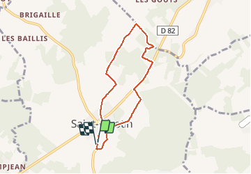

Length
6 km

Max alt
205 m

Uphill gradient
72 m
Km-Effort
7 km

Min alt
171 m

Downhill gradient
71 m
Boucle
Yes
Creation date :
2021-04-23 15:10:23.284
Updated on :
2021-04-23 16:32:52.611
1h22
Difficulty : Easy

FREE GPS app for hiking
 SityTrail
IGN / Geographical institutes
SityTrail Plus
The world is yours!
About
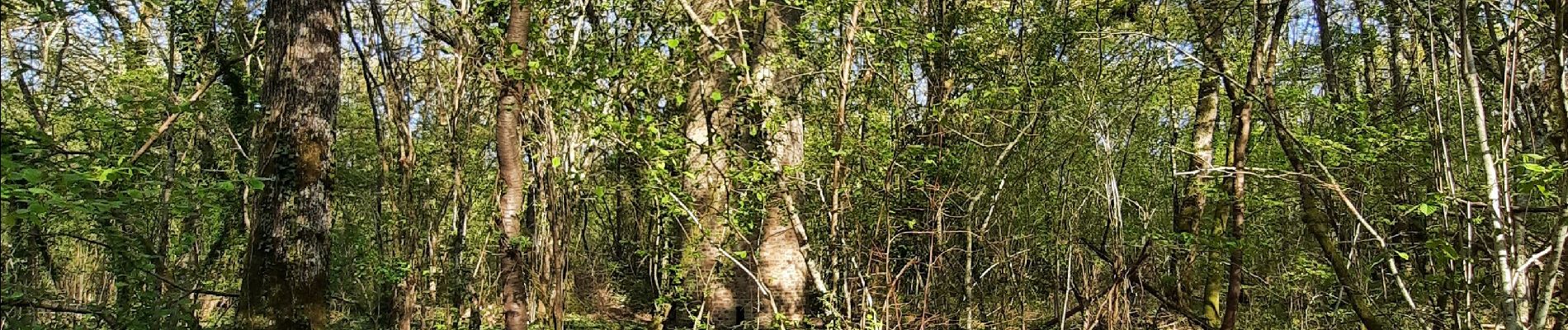
Trail Walking of 6 km to be discovered at Bourgogne-Franche-Comté, Yonne, Saint-Sérotin. This trail is proposed by Grouchat.
Photos


Positioning
Country:
France
Region :
Bourgogne-Franche-Comté
Department/Province :
Yonne
Municipality :
Saint-Sérotin
Location:
Unknown
Start:(Dec)
Start:(UTM)
511721 ; 5343477 (31U) N.
Comments