


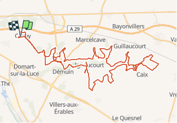

21 km | 24 km-effort

User


FREE GPS app for hiking
 SityTrail
IGN / Geographical institutes
SityTrail World
The world is yours!
Trail Quad of 64 km to be discovered at Hauts-de-France, Somme, Cachy. This trail is proposed by Eric Bottin.
cachy ,domart , demuin, hangar ,caix, ignaucourt aubercourt .et demi tour


Nordic walking

Quad

Mountain bike
Walking

Walking
Walking
Mountain bike
Walking
Mountain bike
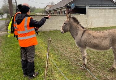
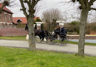
Très bonne rando très variée, c’était vraiment sympa.