


dans les champs et le long de l'orne.

fizz1212
User


Length
7.2 km

Max alt
135 m

Uphill gradient
118 m
Km-Effort
8.8 km

Min alt
76 m

Downhill gradient
119 m
Boucle
Yes
Creation date :
2021-04-25 10:21:37.5
Updated on :
2021-04-25 12:24:29.956
2h02
Difficulty : Medium

FREE GPS app for hiking
 SityTrail
IGN / Geographical institutes
SityTrail Plus
The world is yours!
About
Trail Walking of 7.2 km to be discovered at Wallonia, Walloon Brabant, Mont-Saint-Guibert. This trail is proposed by fizz1212.
Description
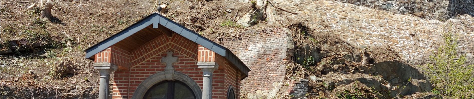
Jolie promenade bucolique autour de Mont-Saint-Guibert.
Photos


Positioning
Country:
Belgium
Region :
Wallonia
Department/Province :
Walloon Brabant
Municipality :
Mont-Saint-Guibert
Location:
Mont-Saint-Guibert
Start:(Dec)
Start:(UTM)
613551 ; 5610598 (31U) N.
Comments
Très jolie balade entre champs, villages et châteaux