


mur gueidan

NADINE52
User
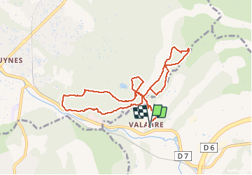

Length
11 km

Max alt
311 m

Uphill gradient
341 m
Km-Effort
15.5 km

Min alt
173 m

Downhill gradient
341 m
Boucle
Yes
Creation date :
2021-04-25 08:03:30.213
Updated on :
2021-04-25 13:20:35.475
3h15
Difficulty : Difficult

FREE GPS app for hiking
 SityTrail
IGN / Geographical institutes
SityTrail Plus
The world is yours!
About
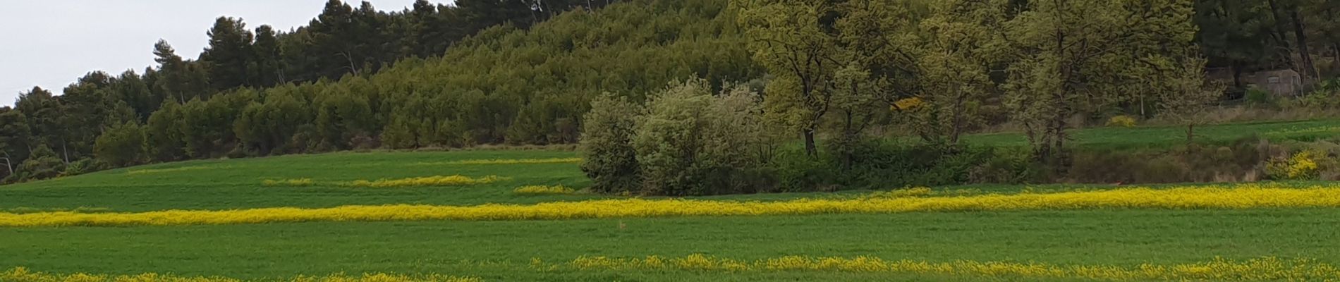
Trail Walking of 11 km to be discovered at Provence-Alpes-Côte d'Azur, Bouches-du-Rhône, Gardanne. This trail is proposed by NADINE52.
Photos


Positioning
Country:
France
Region :
Provence-Alpes-Côte d'Azur
Department/Province :
Bouches-du-Rhône
Municipality :
Gardanne
Location:
Unknown
Start:(Dec)
Start:(UTM)
698463 ; 4816154 (31T) N.
Comments