


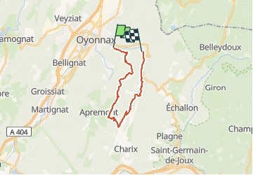

5.9 km | 10.8 km-effort

User


FREE GPS app for hiking
 SityTrail
IGN / Geographical institutes
SityTrail World
The world is yours!
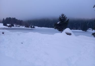
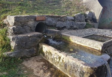
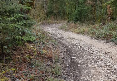
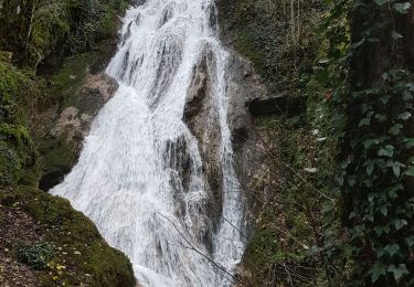
Trail Walking of 19.3 km to be discovered at Auvergne-Rhône-Alpes, Ain, Oyonnax. This trail is proposed by colomb24.
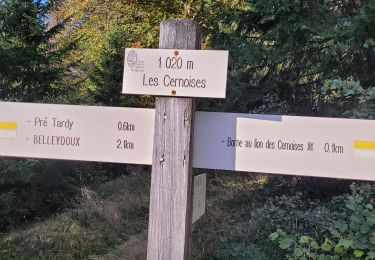
tres Belle randonnée. Le passage du couloir basset très difficile


On foot

Motor
Walking
On foot
Walking
Walking

Walking
Walking
Walking