


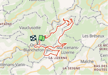

17.1 km | 25 km-effort

User


FREE GPS app for hiking
 SityTrail
IGN / Geographical institutes
SityTrail World
The world is yours!
Trail Walking of 20 km to be discovered at Bourgogne-Franche-Comté, Doubs, Orgeans-Blanchefontaine. This trail is proposed by TRIMAILLE.
Même randonnée que celle du 23 mars 2021, mais en sens inverse. Seul l’accès au rocher du Boubet est quelque peu modifié.
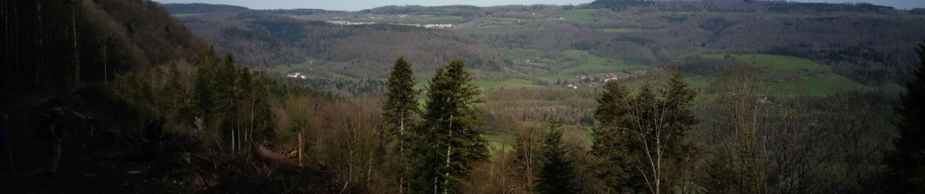
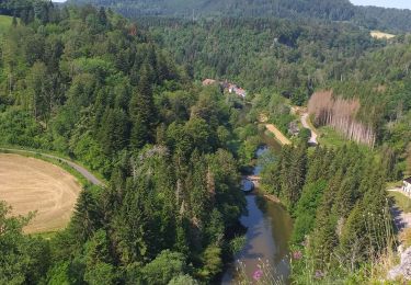
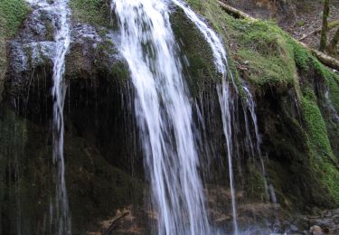
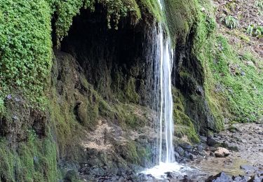
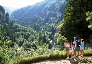
Très belle randonnée dans un cadre assez sauvage. A voir les quatre grottes de Waroly, le rocher du Boubet et son bélvédère, le château de l'hermitage, et les cascades.
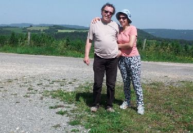
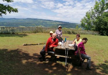
 26 avril 2021 CAF - Photo 1")
 26 avril 2021 CAF - Photo 2")
 26 avril 2021 CAF - Photo 3")
 26 avril 2021 CAF - Photo 4")
 26 avril 2021 CAF - Photo 5")
 26 avril 2021 CAF - Photo 6")
 26 avril 2021 CAF - Photo 7")
 26 avril 2021 CAF - Photo 8")
 26 avril 2021 CAF - Photo 9")
 26 avril 2021 CAF - Photo 10")
 26 avril 2021 CAF - Photo 11")
 26 avril 2021 CAF - Photo 12")
 26 avril 2021 CAF - Photo 13")
 26 avril 2021 CAF - Photo 14")
Walking
Walking

Walking
On foot
Walking
Cycle
Walking
Walking
Walking