


26052021 Ercé/la Bosse/ le Sel

chasle
User
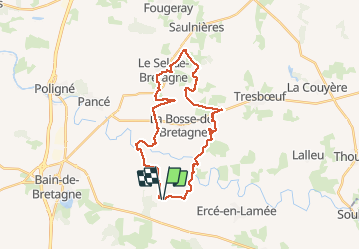

Length
28 km

Max alt
106 m

Uphill gradient
401 m
Km-Effort
33 km

Min alt
22 m

Downhill gradient
401 m
Boucle
Yes
Creation date :
2021-04-27 07:07:29.489
Updated on :
2021-04-30 18:26:41.48
6h36
Difficulty : Easy

FREE GPS app for hiking
 SityTrail
IGN / Geographical institutes
SityTrail Plus
The world is yours!
About
Trail Walking of 28 km to be discovered at Brittany, Ille-et-Vilaine, Ercé-en-Lamée. This trail is proposed by chasle.
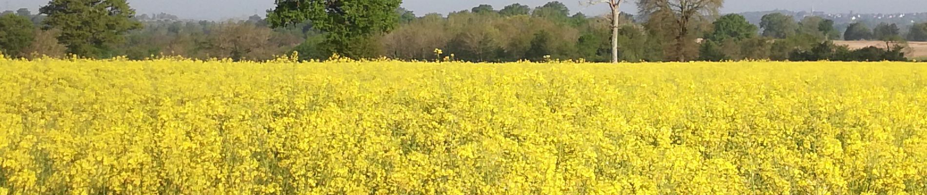
Photos


Positioning
Country:
France
Region :
Brittany
Department/Province :
Ille-et-Vilaine
Municipality :
Ercé-en-Lamée
Location:
Unknown
Start:(Dec)
Start:(UTM)
603878 ; 5298936 (30T) N.
Comments