


Col de la houlette par les Cougnets

orsel
User GUIDE
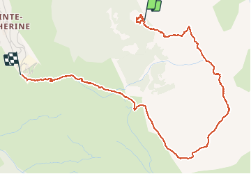

Length
5.3 km

Max alt
2442 m

Uphill gradient
191 m
Km-Effort
9.3 km

Min alt
1852 m

Downhill gradient
626 m
Boucle
No
Creation date :
2021-04-30 08:18:01.645
Updated on :
2021-04-30 17:14:35.268
3h15
Difficulty : Medium

FREE GPS app for hiking
 SityTrail
IGN / Geographical institutes
SityTrail Plus
The world is yours!
About
Trail Walking of 5.3 km to be discovered at Provence-Alpes-Côte d'Azur, Hautes-Alpes, Vars. This trail is proposed by orsel.
Positioning
Country:
France
Region :
Provence-Alpes-Côte d'Azur
Department/Province :
Hautes-Alpes
Municipality :
Vars
Location:
Unknown
Start:(Dec)
Start:(UTM)
318392 ; 4941372 (32T) N.
Comments