Trail Walking Remaucourt - Le tilloy - les sources de la somme - Photo

Le tilloy - les sources de la somme

© OpenStreetMap contributors
Length
Length
17.4 km
Max alt
Max alt
126 m
Uphill gradient
Uphill gradient
164 m
Km-Effort
Km-Effort  
19.6 km
Min alt
Min alt
81 m
Downhill gradient
Downhill gradient
163 m
Boucle
Boucle
Yes
Creation date :
2021-04-29 12:56:58.329
Updated on :
2021-04-30 22:54:32.06

(0 Reviews)

Walking
Walking
3h35
Difficulty : Medium

Scan this QR Code to open this trail in the SityTrail application

FREE GPS app for hiking

Logo SityTrail SityTrail

IGN / Geographical institutes

Download SityTrail from the App Store Download SityTrail from Google Play

Logo SityTrail SityTrail World

The world is yours!

Download SityTrail from the App Store Download SityTrail from Google Play Download SityTrail on Huawei AppGallery

About

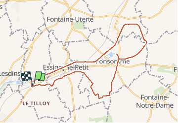
Trail Walking of 17.4 km to be discovered at Hauts-de-France, Aisne, Remaucourt. This trail is proposed by alainwald.

Description

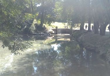
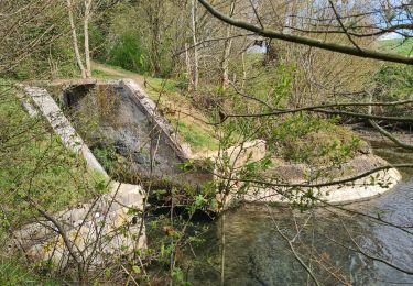
point d'intérêt  : les sources de la somme.
vous pouvez faire le tour des sources en plus du parcours.
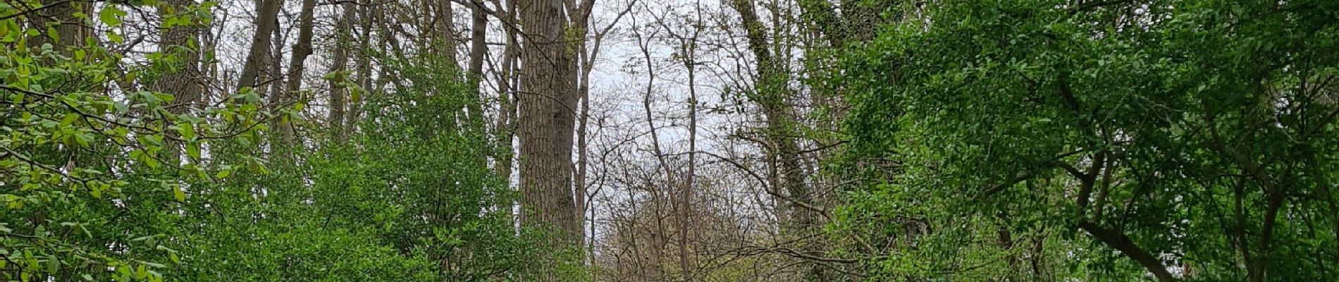
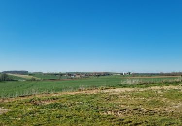
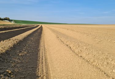
2 passages à travers champs

Elevation profile

Photos

Positioning

Country:
France
Region :
Hauts-de-France
Department/Province :
Aisne
Municipality :
Remaucourt
Location:
Unknown
Start:(UTM)
524776 ; 5526617 (31U) N.

Trails nearby

Trail Walking Fonsomme - les sources de la Somme.  - Photo
Walking
José800

Walking

Difficult
Fonsomme, Hauts-de-France, Aisne, France
11.7 km | 13.3 km-effort
2h 44min
Yes
Trail Walking Rouvroy - circuit rouvroy fonsomme croix fonsommes - Photo
Walking
alainwald

Walking

Easy
Rouvroy, Hauts-de-France, Aisne, France
24 km | 27 km-effort
4h 33min
Yes
Trail Walking Homblières - homblières  Fonsomme  - Photo
Walking
alainwald

Walking

Easy
Homblières, Hauts-de-France, Aisne, France
21 km | 24 km-effort
4h 13min
Yes
Trail Walking Saint-Quentin - Parc d'isle - Photo
Walking
JJDOLLE

Walking

Very easy
Saint-Quentin, Hauts-de-France, Aisne, France
5.9 km | 6.5 km-effort
1h 40min
Yes
Trail Walking Homblières - Le parc d'Homblières - Photo
Walking
tracegps

Walking

Medium
Homblières, Hauts-de-France, Aisne, France
8.1 km | 9.2 km-effort
2h 15min
Yes
Trail Walking Morcourt - La Somme naissante - Photo
Walking
tracegps

Walking

Very difficult
Morcourt, Hauts-de-France, Aisne, France
15 km | 17.4 km-effort
4h 15min
Yes
Trail Walking Fonsomme - Les sources de la Somme à Fonsomme 02 . - Photo
Walking
José800

Walking

Medium
Fonsomme, Hauts-de-France, Aisne, France
11.6 km | 13.3 km-effort
2h 51min
Yes
Trail Walking Fonsomme - les sources de la Somme - Photo
Walking
José800

Walking

Very difficult
Fonsomme, Hauts-de-France, Aisne, France
57 km | 65 km-effort
5h 30min
No
Trail Walking Fonsomme - Fonsomme  - Photo
Walking
VANDERPUTTENMi

Walking

Medium
Fonsomme, Hauts-de-France, Aisne, France
8.4 km | 9 km-effort
1h 52min
Yes


Close
My subscriptions