


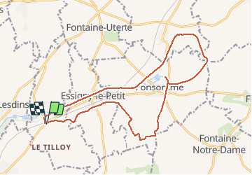
Le tilloy - les sources de la somme

alainwald
User

Length
17.4 km

Max alt
126 m

Uphill gradient
164 m
Km-Effort
19.6 km

Min alt
81 m

Downhill gradient
163 m
Boucle
Yes
Creation date :
2021-04-29 12:56:58.329
Updated on :
2021-04-30 22:54:32.06
3h35
Difficulty : Medium

FREE GPS app for hiking
 SityTrail
IGN / Geographical institutes
SityTrail Plus
The world is yours!
About
Trail Walking of 17.4 km to be discovered at Hauts-de-France, Aisne, Remaucourt. This trail is proposed by alainwald.
Description
point d'intérêt : les sources de la somme.
vous pouvez faire le tour des sources en plus du parcours.
2 passages à travers champs
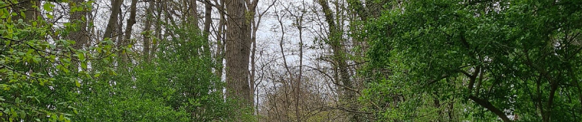
Photos


Positioning
Country:
France
Region :
Hauts-de-France
Department/Province :
Aisne
Municipality :
Remaucourt
Location:
Unknown
Start:(Dec)
Start:(UTM)
524776 ; 5526617 (31U) N.
Comments