


Moussoulens Saint Roch

Ada11
User GUIDE
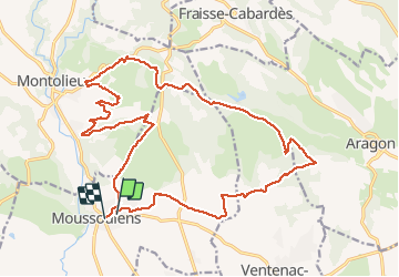

Length
25 km

Max alt
321 m

Uphill gradient
431 m
Km-Effort
30 km

Min alt
156 m

Downhill gradient
441 m
Boucle
No
Creation date :
2021-05-02 07:07:54.211
Updated on :
2021-05-02 14:52:44.06
5h52
Difficulty : Easy

FREE GPS app for hiking
 SityTrail
IGN / Geographical institutes
SityTrail Plus
The world is yours!
About
Trail Walking of 25 km to be discovered at Occitania, Aude, Moussoulens. This trail is proposed by Ada11.
Description
Départ de la rando pas enregistré, environ 500m, devant le café.
Du coup, entre 25 et 25,5 km.
Première moitié un peu ennuyante.
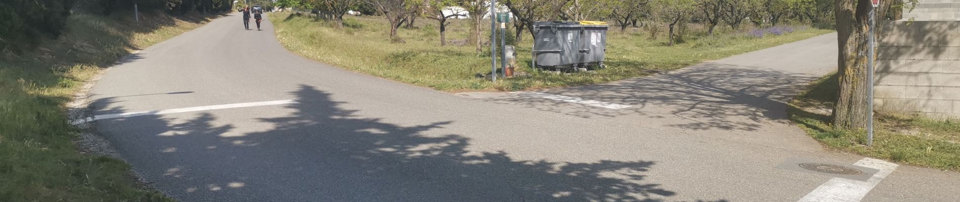
Photos


Positioning
Country:
France
Region :
Occitania
Department/Province :
Aude
Municipality :
Moussoulens
Location:
Unknown
Start:(Dec)
Start:(UTM)
437942 ; 4792219 (31T) N.
Comments