Trail Walking Marseille - Mont Puget par aiguille Guillemin, retour par le Vallon Mestrallet - Photo

Mont Puget par aiguille Guillemin, retour par le Vallon Mestrallet

 fhascoet
fhascoet

User

© OpenStreetMap contributors
Length
Length
11.8 km
Max alt
Max alt
554 m
Uphill gradient
Uphill gradient
480 m
Km-Effort
Km-Effort  
18.3 km
Min alt
Min alt
137 m
Downhill gradient
Downhill gradient
486 m
Boucle
Boucle
Yes
Creation date :
2021-05-02 11:27:44.318
Updated on :
2021-05-02 16:57:47.833

(0 Reviews)

Walking
Walking
4h12
Difficulty : Difficult

Scan this QR Code to open this trail in the SityTrail application

FREE GPS app for hiking

Logo SityTrail SityTrail

IGN / Geographical institutes

Download SityTrail from the App Store Download SityTrail from Google Play

Logo SityTrail SityTrail Plus

The world is yours!

Download SityTrail from the App Store Download SityTrail from Google Play Download SityTrail on Huawei AppGallery

About

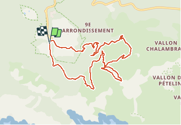
Trail Walking of 11.8 km to be discovered at Provence-Alpes-Côte d'Azur, Bouches-du-Rhône, Marseille. This trail is proposed by fhascoet.

Description

Départ de la fac de Luminy, Ecole d'architecture.
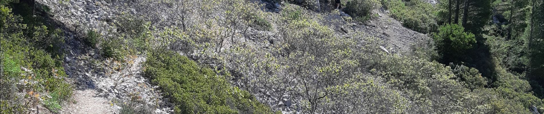
Le montée dans le couloir le long de l'aiguille Guillemin n'est pas difficile et très belle.
Petite boucle pour passer aux 2 sommets du Mont Puget puis retour par le supperbe Vallon Mestrallet. Le bas du vallon est un cirque avec des falaises recouvertes de verdure.

Elevation profile

Photos

Positioning

Country:
France
Region :
Provence-Alpes-Côte d'Azur
Department/Province :
Bouches-du-Rhône
Municipality :
Marseille
Location:
9th Arrondissement
Start:(UTM)
697892 ; 4789246 (31T) N.


Close
My subscriptions