


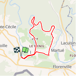


18 km | 22 km-effort


User


FREE GPS app for hiking
 SityTrail
IGN / Geographical institutes
SityTrail World
The world is yours!
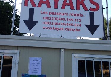
Trail Walking of 13.5 km to be discovered at Wallonia, Luxembourg, Florenville. This trail is proposed by wandelroutes.
More information on : http://www.wandelroutes.org
Walking
Walking
Walking

Walking
Walking
Walking

Walking
On foot
On foot
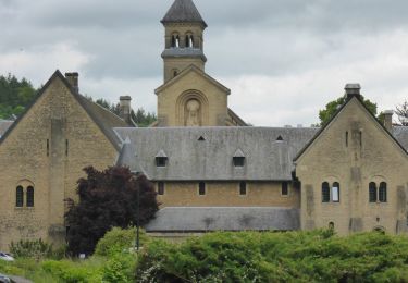
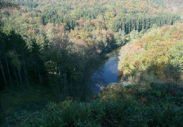
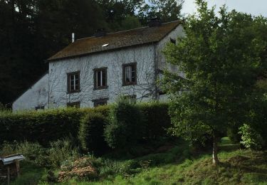
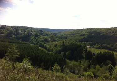
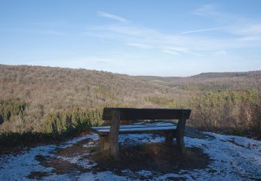
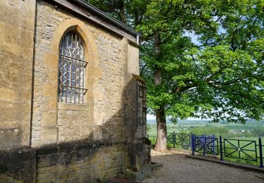
Zeer mooie en avontuurlijke wandeling langs de SemoiS. We hebben de wandeling ingekort door te vertrekken in Azy en aan de Ferme des Froids Vents naar het vertrekpunt terug te keren.