


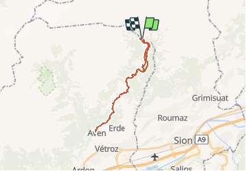
Bisse de la Tsandra et le petit bisse (09.2009)

duamerg
User


6h00
Difficulty : Easy

FREE GPS app for hiking
 SityTrail
IGN / Geographical institutes
SityTrail Plus
The world is yours!
About
Trail Walking of 24 km to be discovered at Valais/Wallis, Conthey, Conthey. This trail is proposed by duamerg.
Description
Suivre le sentier didactique le long du bisse qui est pratiquement toujours enterré.
Revenir par le même chemin mais à hauteur des Mayens de My prendre la direction du petit bisse qui lui est visible sur toute sa longueur et est beaucoup plus sauvage.
Belle promenade facile, ombragée. Le paysage est varié, les panneaux intéressants.
Voir photos.


Positioning
Comments