Trail Walking Tubize - 2021-04-17 18:43:23 - Photo

2021-04-17 18:43:23

© OpenStreetMap contributors
Length
Length
12.3 km
Max alt
Max alt
94 m
Uphill gradient
Uphill gradient
186 m
Km-Effort
Km-Effort  
14.7 km
Min alt
Min alt
37 m
Downhill gradient
Downhill gradient
186 m
Boucle
Boucle
Yes
Creation date :
2021-05-04 16:25:14.195
Updated on :
2021-05-04 16:45:28.761

(0 Reviews)

Walking
Walking
3h20
Difficulty : Difficult

Scan this QR Code to open this trail in the SityTrail application

FREE GPS app for hiking

Logo SityTrail SityTrail

IGN / Geographical institutes

Download SityTrail from the App Store Download SityTrail from Google Play

Logo SityTrail SityTrail Plus

The world is yours!

Download SityTrail from the App Store Download SityTrail from Google Play Download SityTrail on Huawei AppGallery

About

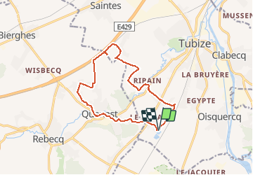
Trail Walking of 12.3 km to be discovered at Wallonia, Walloon Brabant, Tubize. This trail is proposed by Luberon1963.

Description

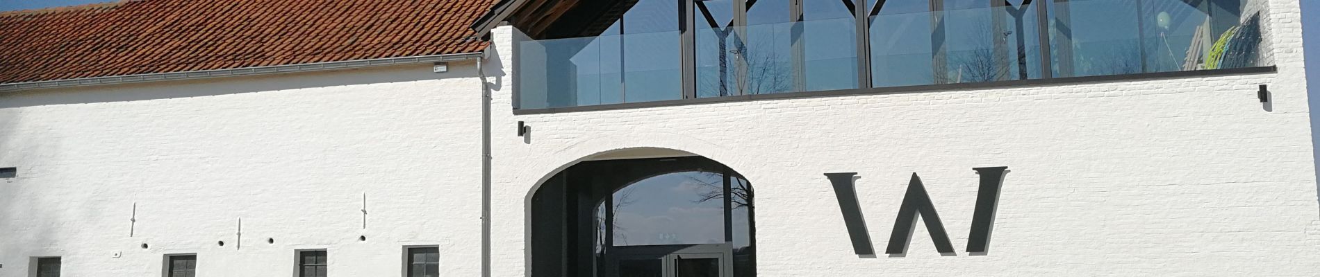
Boucle au départ des étangs de Coeurcq passant par les hameaux et lieux-dits: Stéhou, Ripain, Try Bas (à proximité du Domaine "W"), Quenestine, Bois de Thiembecq, Quenast, Le Renard.
Le parcours alterne sentiers et chemins.
Certains des sentiers sont insolites d'où l'intérêt de mieux les faire connaître et ce, afin de les préserver !

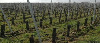
Vignobles du Domaine "W":
https://www.domaine-w.be/

Elevation profile

Photos

Points of interest

Point of interest Tubize - Ferme de Troye - Vignoble W - Photo
Luberon1963

Positioning

Country:
Belgium
Region :
Wallonia
Department/Province :
Walloon Brabant
Municipality :
Tubize
Location:
Tubize
Start:(UTM)
583892 ; 5613342 (31U) N.


Close
My subscriptions