


Montbrun corronsac fait mai 2021

pidjam
User
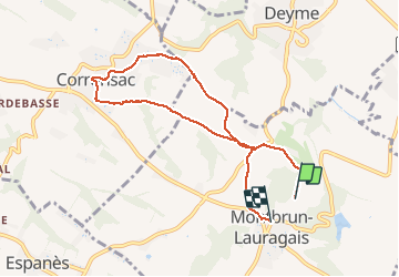

Length
7.9 km

Max alt
284 m

Uphill gradient
175 m
Km-Effort
10.1 km

Min alt
199 m

Downhill gradient
133 m
Boucle
No
Creation date :
2021-05-06 12:22:47.011
Updated on :
2021-05-06 14:15:01.616
1h51
Difficulty : Medium

FREE GPS app for hiking
 SityTrail
IGN / Geographical institutes
SityTrail Plus
The world is yours!
About
Trail Walking of 7.9 km to be discovered at Occitania, Haute-Garonne, Montbrun-Lauragais. This trail is proposed by pidjam.
Positioning
Country:
France
Region :
Occitania
Department/Province :
Haute-Garonne
Municipality :
Montbrun-Lauragais
Location:
Unknown
Start:(Dec)
Start:(UTM)
380769 ; 4812949 (31T) N.
Comments