


balade en halatte circuit 4

gilbertdu60
User
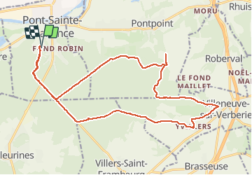

Length
21 km

Max alt
222 m

Uphill gradient
372 m
Km-Effort
26 km

Min alt
95 m

Downhill gradient
374 m
Boucle
Yes
Creation date :
2021-05-07 13:33:13.693
Updated on :
2021-05-08 09:04:06.828
2h07
Difficulty : Medium

FREE GPS app for hiking
 SityTrail
IGN / Geographical institutes
SityTrail Plus
The world is yours!
About
Trail Electric bike of 21 km to be discovered at Hauts-de-France, Oise, Pont-Sainte-Maxence. This trail is proposed by gilbertdu60.
Description
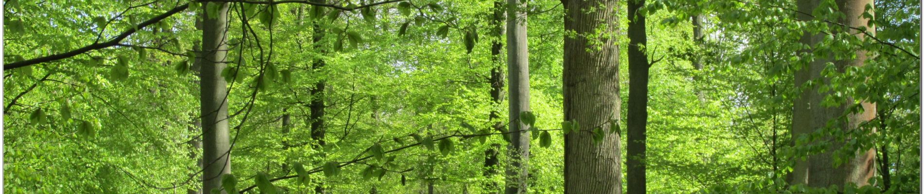
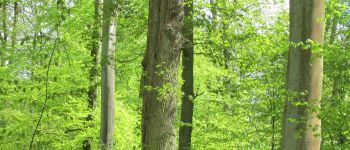
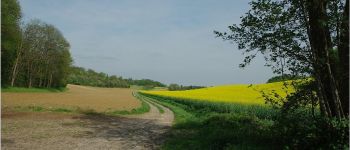
en forêt d'halatte par les sentiers
entre Pontpoint et Villeneuve sur Verberie
en passant par le mont Pagnotte.
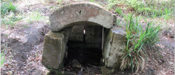
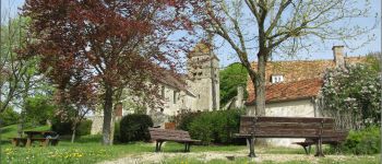
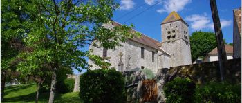
Photos


Points of interest


Positioning
Country:
France
Region :
Hauts-de-France
Department/Province :
Oise
Municipality :
Pont-Sainte-Maxence
Location:
Unknown
Start:(Dec)
Start:(UTM)
470900 ; 5460266 (31U) N.
Comments