


Croix de Souvray 070521

fmg
User
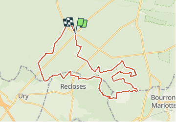

Length
21 km

Max alt
146 m

Uphill gradient
214 m
Km-Effort
24 km

Min alt
85 m

Downhill gradient
209 m
Boucle
Yes
Creation date :
2021-05-07 06:48:44.676
Updated on :
2021-05-07 17:06:19.053
5h02
Difficulty : Very difficult

FREE GPS app for hiking
 SityTrail
IGN / Geographical institutes
SityTrail Plus
The world is yours!
About
Trail Walking of 21 km to be discovered at Ile-de-France, Seine-et-Marne, Fontainebleau. This trail is proposed by fmg.
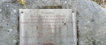
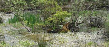
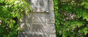
Photos


Positioning
Country:
France
Region :
Ile-de-France
Department/Province :
Seine-et-Marne
Municipality :
Fontainebleau
Location:
Unknown
Start:(Dec)
Start:(UTM)
473582 ; 5357756 (31U) N.
Comments