


Froensbourg

Claudele
User
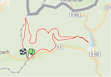

Length
10.5 km

Max alt
421 m

Uphill gradient
327 m
Km-Effort
14.9 km

Min alt
215 m

Downhill gradient
327 m
Boucle
Yes
Creation date :
2021-05-08 07:40:09.012
Updated on :
2021-05-08 16:01:05.683
5h19
Difficulty : Easy

FREE GPS app for hiking
 SityTrail
IGN / Geographical institutes
SityTrail Plus
The world is yours!
About
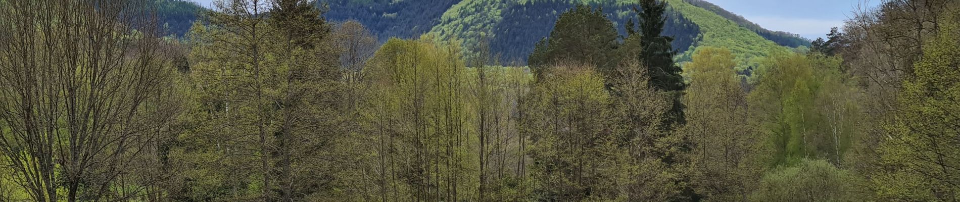
Trail Walking of 10.5 km to be discovered at Grand Est, Bas-Rhin, Niedersteinbach. This trail is proposed by Claudele.
Photos


Positioning
Country:
France
Region :
Grand Est
Department/Province :
Bas-Rhin
Municipality :
Niedersteinbach
Location:
Unknown
Start:(Dec)
Start:(UTM)
407274 ; 5431312 (32U) N.
Comments