


montagne de Praloubeau

jphugon
User
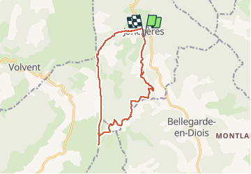

Length
14.4 km

Max alt
1514 m

Uphill gradient
713 m
Km-Effort
24 km

Min alt
893 m

Downhill gradient
723 m
Boucle
Yes
Creation date :
2021-05-09 07:09:24.234
Updated on :
2021-05-10 10:05:51.714
5h25
Difficulty : Medium

FREE GPS app for hiking
 SityTrail
IGN / Geographical institutes
SityTrail Plus
The world is yours!
About
Trail On foot of 14.4 km to be discovered at Auvergne-Rhône-Alpes, Drôme, Jonchères. This trail is proposed by jphugon.
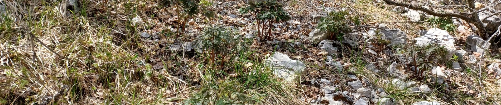
Photos


Positioning
Country:
France
Region :
Auvergne-Rhône-Alpes
Department/Province :
Drôme
Municipality :
Jonchères
Location:
Unknown
Start:(Dec)
Start:(UTM)
690937 ; 4937896 (31T) N.
Comments