


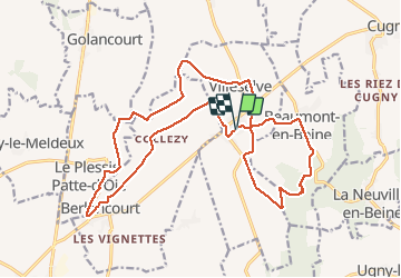
Villeselve

jpblimond
User


4h39
Difficulty : Medium

FREE GPS app for hiking
 SityTrail
IGN / Geographical institutes
SityTrail Plus
The world is yours!
About
Trail Walking of 21 km to be discovered at Hauts-de-France, Oise, Villeselve. This trail is proposed by jpblimond.
Description
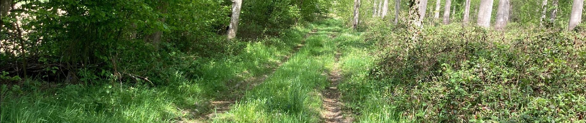
Très peu de dénivelé sur cette randonnée.
Passage très fréquent en plaine sauf dans la partie sud.
L'arrivée au bois est compliqué, le sentier n'existe plus cause culture.
Le bois a été coupé et le sentier original n'existe plus.
Une large allée doit maintenant être empruntée, dommage.
Photos


Positioning
Comments